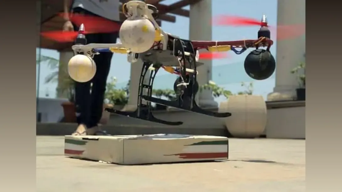
In a significant technological milestone for India’s disaster response infrastructure, deep-tech startup BonV Aero’s ground-penetrating radar (GPR) drone played a crucial role in aiding the Indian Army's rescue operations following a devastating landslide in Lachen, Sikkim. Deployed within 24 hours of the incident, the drone provided real-time sub-surface imaging in unstable, high-altitude terrain. Its findings enabled the identification of human remains, allowing rescue teams to act with surgical precision and avoid indiscriminate digging. This operation underscores the growing relevance of indigenous UAV solutions in high-risk, inaccessible environments.
Leveraging Indigenous Innovation for Crisis Response
When a landslide struck the remote mountainous region of Lachen in Sikkim earlier this month, the Indian Army turned to a homegrown technological solution for assistance. BonV Aero, a deep-tech startup based in Bhubaneswar, provided its advanced ground-penetrating radar (GPR) drone to help in the search-and-rescue effort. The deployment was made within 24 hours of the incident, highlighting the agility of both the military and the startup in responding to a complex emergency.
The disaster site, located approximately 123 kilometers from Gangtok, presented extreme logistical and environmental challenges. Conventional search tools such as thermal cameras and canine units were ineffective in the unstable and debris-laden terrain. The Army required a more precise and less intrusive solution—a demand BonV Aero’s specialized unmanned aerial vehicle (UAV) was built to meet.
Technology That Looks Beneath the Surface
BonV Aero’s drone integrates GPR technology designed specifically for aerial use in rugged, inaccessible terrains. Once deployed over the landslide zone, the drone conducted targeted sub-surface scans, revealing two anomalies beneath the debris—at depths of approximately 0.76 meters and 0.015 meters. These readings proved accurate; subsequent excavations confirmed the presence of human remains at both locations.
This precise targeting not only accelerated the recovery process but also spared personnel from hazardous and labor-intensive manual digging across a wide area. It marked a turning point in the application of drone-based geospatial intelligence for disaster management in India.
Real-Time Mapping and Safer Operations
One of the defining aspects of BonV Aero’s system is its real-time data integration capability. As the UAV scanned the surface, the GPR data was simultaneously transmitted to a digital mapping interface. This allowed ground teams to adapt their strategies dynamically, coordinating rescue movements in alignment with the drone’s findings.
Abinash Sahoo, Chief Technology Officer at BonV Aero, emphasized the advantages of non-contact surveying, particularly in dangerous zones where human exposure poses significant risk. “In environments where traditional tools are ineffective, our UAV collects crucial data without endangering personnel,” he stated.
A Model for Scalable, Nation-Driven Solutions
The successful deployment of the GPR-equipped drone in Lachen represents more than a technological success—it exemplifies the growing capability of Indian startups to solve real-world problems with scalable, indigenous innovation. BonV Aero’s platform, built for India’s diverse geographical challenges, found immediate relevance in a distant part of the country, illustrating the power of distributed innovation ecosystems.
Satyabarata Satapathy, the company’s CEO, reflected on this moment of impact: “The Army’s timely decision to use our platform enabled focused rescue efforts. The response in Lachen indicates that solutions built in one part of the country can address urgent needs in another—at just the right moment.”
Conclusion: A New Era for Disaster Tech in India
As climate-induced disasters grow in frequency and severity, the importance of rapid, precise, and safe rescue operations becomes paramount. The Lachen mission could serve as a blueprint for future deployments of UAV-based sub-surface scanning, particularly in regions prone to natural calamities.
BonV Aero’s contribution, alongside the Indian Army’s proactive approach, signals a promising shift in how India leverages technology in times of crisis—bridging innovation with necessity, and local ingenuity with national resilience.
Comments